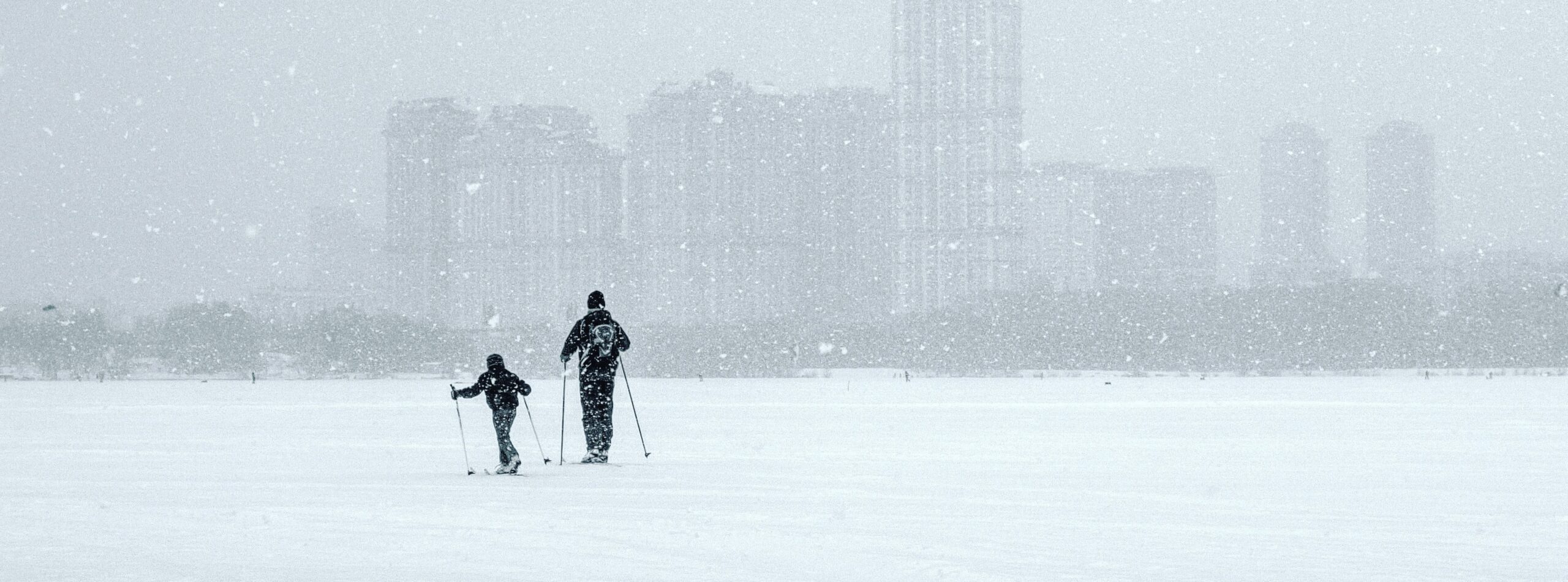
Severe winter weather struck southeastern Europe the last several days, with extreme cold and snow in Italy, the Balkans and Turkey. This caused many accidents on roads, school closures, and canceled flights. The Danube river and Bosporus sea strait were closed for shipping. Television news brought images of refugees in tents in the snow. While many homeless people were given warm food, clothing and shelter, a few died in the cold.
Not only are the temperatures very low, they have also persisted for a long time. In Serbia maximum temperatures have been around -10ºC (14ºF) for five days in a row, with minimum temperatures around -15ºC (5ºF).
The forecast calls for less severe cold today and gone by tomorrow.

The largest deviations from normal are in the Balkans. Montenegro, Serbia, the Republic of Macedonia and Bulgaria had temperatures of more than 12ºC (21.6 ºF) below normal averaged over the last five days (Figure 2). Around this core area it was also cold in eastern Italy, Greece, western Turkey and Romania with five-day mean temperatures 5ºC to 10ºC (9ºF – 18ºF) below normal in January.

Weather situation
The weather that caused the cold outbreak was a developing high pressure system over western Europe. On January 1, 2017 this high was evident on the weather maps, although at that time it was still too far west to influence the Balkan peninsula. It gradually moved east, transferring cold air from Siberia south to southeastern Europe, following the clockwise circulation around this high pressure system (see Figure 3).
Snow showers develop easily over the relatively warm Mediterranean Sea when a compact low pressure system forms in the region, as it did from January 5 -8. From January 8 – 11 the high weakened and moved farther to the east. The low stayed in the region and caused more snow to fall. On January 12 the high all but disappeared and the inflow of cold air stopped. By January 13 the temperatures will almost be back to normal in southeastern Europe.

How exceptional is this?
The temperature of the last few days in the Balkans was very low, but not at record levels. The lowest daily mean temperature averaged over Serbia was around -15.6ºC (3.9ºF) on January 7. Since 1950 colder days were observed in the winters of 1953/54, 1955/56, 1962/63 and 2011/12. The lowest temperature in this series was measured on January 24, 1963 at -19.7 ºC (-3.5ºF). (Another dataset, the Berkeley Earth analysis, shows that the winters of 1928/29 and 1941/42 had even colder days.) A daily mean temperature as low as the one observed on January 7, or lower, occurs on average about once every 35 years.
The extended period of cold is also not very unusual. The lowest five-day mean temperature in the Serbia-wide series from E-OBS is from January 7 – 11, with a temperature of -12.8ºC (-9ºF). Colder five-day means in the series from 1950 to now were in 1953/54, 1955/56 and 1962/63, and before that again in 1928/29 and 1941/42. This analysis concludes that the five-day cold spell was about as exceptional as the one-day extreme, with a probability of once every 35 years on average (three percent every year).
In the north of the Balkans and in the mountains, snow is very common. Belgrade, Serbia has snow on the ground almost every year, although the amounts show a clear decrease since 1950. On the coasts snow is much more rare. Dubrovnik, Croatia only has a day with a few centimeters or inches of snow once every few years. This also seems to have become more rare over the years. The Greek islands also get snow occasionally according to satellite observations.
Trends in observations
The observational analysis shows a trend towards higher temperatures of the cold outbreaks, but the trend is not statistically significant, as the variability from year to year is much larger than the trend. Temperatures as low as the ones observed the last few days have become a factor of about two less common since 1950, but the uncertainty range stretches from more common to much less common. The equivalent trend in temperature is between -1.7ºC and 4.0ºC (19.4ºF – 39.2ºF) over the last 65 years, again probably a warming trend but no definitive conclusions can be drawn from the observations. An analysis of five-day cold spells shows very similar results
Trends in models
Climate models used for the 2013 Fifth IPCC Assessment Report show a trend of about 2ºC (3.6ºF) for the temperature of the coldest day of the year in Serbia (Figure 4). This is completely compatible with the observed trend. The Balkans are in a transition zone between the very strong warming trends of cold days in Russia and more moderate trends around the Mediterranean


Conclusion
A high-pressure system moving slowly eastwards over Europe brought cold Siberian air to southeastern Europe along its eastern side. Montenegro, Serbia, the republic of Macedonia and Bulgaria were much colder than normal, with temperatures as low as -15 ºC (5ºF) over five consecutive days. The surrounding countries of Italy, Greece, Turkey and Romania were 5ºC to 10ºC (9ºF – 18ºF) colder than normal for the time of year. The freezing temperatures with a developing low over the Mediterranean brought large amounts of snow to many places.
This kind of cold outbreak is not unprecedented in this region. These cold snaps occur on average every 35 years or so. This means that every year there is a three percent chance of a cold event like this one, or colder, of happening. The temperature of these cold waves has increased since 1950. This increase is not statistically significant due to the variability of the weather, but climate models show the same increase. Before global warming, an extreme cold snap like the recent one in southeastern Europe would have been even colder.


